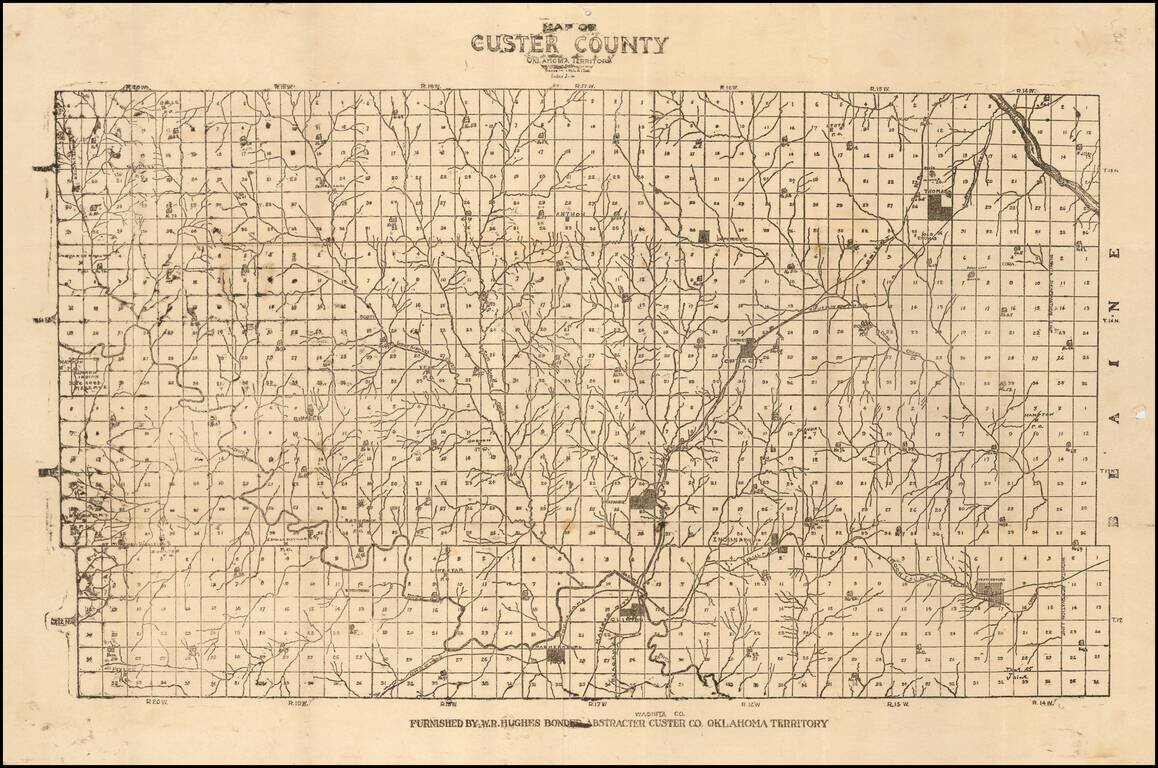
Unrecorded Early Map of Custer County, Oklahoma Territory
One of the earliest surviving printed maps of Custer County, Oklahoma Territory.
The map is subdivided into townships, with each lot subdivided into 36 numbered sections. Several towns are...
antiquemaps.ru is sale. 12,000+ superb pieces of vintage collectible printable 300dpi maps - total 300GB high resolution rare and antique old map archive!
antiquemaps.ru website use cookies, local storage and other similar technologies. This is necessary to ensure the full functionality of our services. Using our services and sites after reading this notice means that you have given your consent to their use in your browser. Click "OK" to confirm your agreement