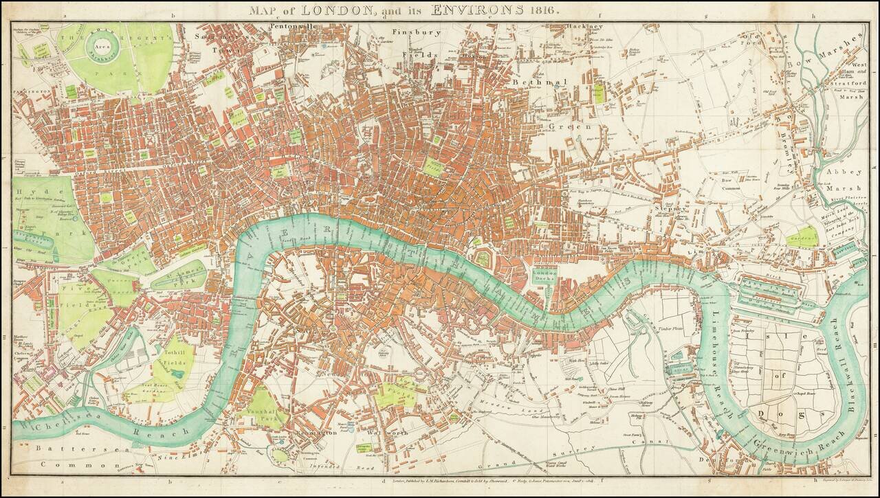
Fine large format map of London, originally published in 1813.
The map stretches from Hyde Park in the west to the East India Docks.
Parks are shown in green with the urban areas in red.
antiquemaps.ru is sale. 12,000+ superb pieces of vintage collectible printable 300dpi maps - total 300GB high resolution rare and antique old map archive!
antiquemaps.ru website use cookies, local storage and other similar technologies. This is necessary to ensure the full functionality of our services. Using our services and sites after reading this notice means that you have given your consent to their use in your browser. Click "OK" to confirm your agreement