Map size in jpg-format: 28.1503MiB
Click to open in high resolution (open in new tab).
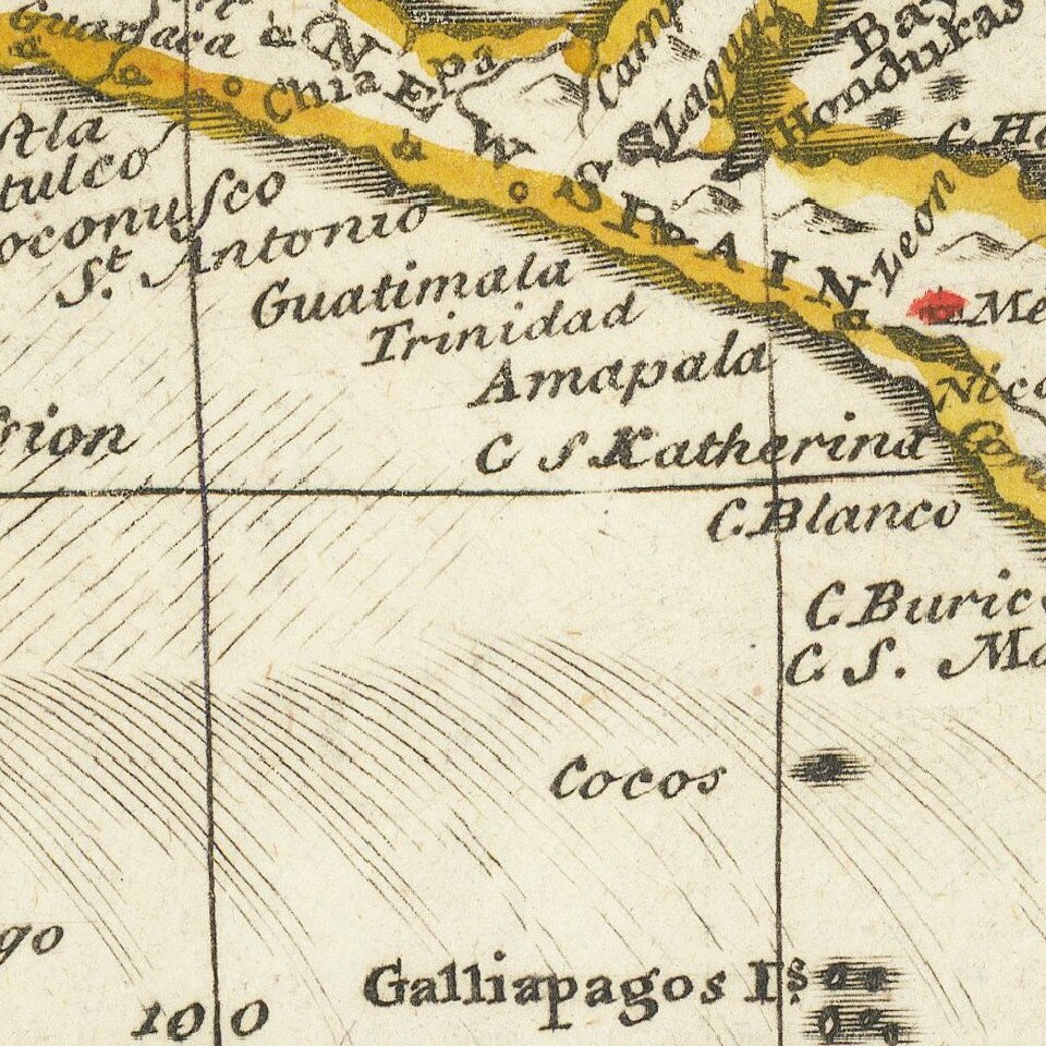
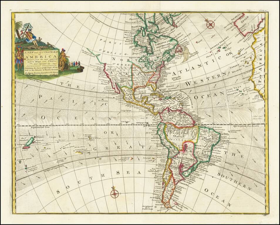
Decorative map of North & South America, published in London by Emanuel Bown.
Shows the Parts Undiscovered in the Northwestern part of North America, locating the supposed Straits of Anian, Cape Mendocino, New Albion, Drake's Port, Monterrey, and the Channel Islands, but not San Diego or San Francisco.
This edition of the map shows the trade winds and includes an extended coast of North America, noting the supposed Straits of Anian. This is one of two similar maps by Bowen, distinguishable by different cartouches, the trade winds and the extra northwest coastline on this edition of the map. The title of the other Bowen map is A New General Map of America.
Emanuel Bowen (1694?-1767) was a British engraver and print seller. He was most well-known for his atlases and county maps. Although he died in poverty, he was widely acknowledged for his expertise and was appointed as mapmaker to both George II of England and Louis XV of France. His business was carried on by his son, Thomas Bowen. He also trained many apprentices, two of whom became prominent mapmakers, Thomas Kitchin and Thomas Jeffreys.
If you are a student, write to us in telegram: @antiquemaps and indicate what material you need and for what work you need a map in high detail. We are ready to provide material on special terms. For students only!