Map size in jpg-format: 29.0258MiB
Click to open in high resolution (open in new tab).
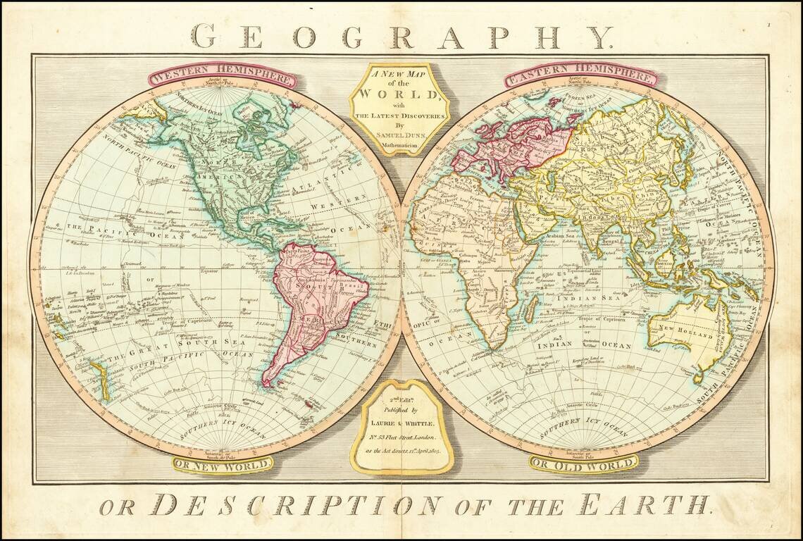
Rare Late Edition Showing Matthew Flinder's Discoveries in Australia
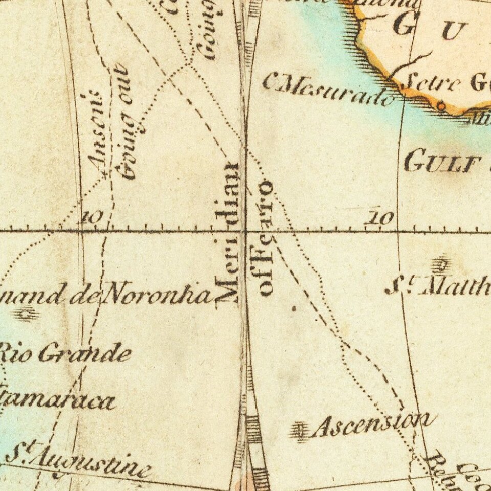
Detailed double hemisphere map of the World, showing tracks of some of the contemporary explorers, including James Cook and George Anson.
The map shows the "Corean Sea," along with Tasmania detached from Australia, based on the recent discoveries by Flinders.
Hawaii is located, as are the discoveries along the northwest coast of America by Vancouver, whose name does not yet appear on Vancouver Island. Cartographically, the map would also seem to pre-date the Louisiana Purchase and the newly Indepdendent nations of South America.
This is one of the latest editions of this map we have encountered and the only edition to show the Flinders discoveries.
Samuel Dunn (bap. 1723-1794) was a teacher of mathematics and navigation who published, among other things, maps and charts. Although information about his early education is lacking, by age nineteen he was leading his own school and teaching writing, accounting, navigation, and mathematics in Devon. In 1751, he moved to London, where he taught in several schools and tutored privately.
By the 1760s, Dunn was known as a respected astronomer and had published a range of textbooks on math, navigation, and astronomy. After the publication of the Nautical Almanac, Dunn acted as a certifier of ships’ masters under the new system, on behalf of the Board of Longitude. He performed similar work for the East India Company, as well as made charts of the East Indies. In 1776 he published A New Variation Atlas and, in 1777, A New Epitome of Practical Navigation, or, Guide to the Indian Seas. By 1780, he was named editor of the New Directory for the East Indies, which included his own charts. In 1786, he released a pioneering study, Theory and Practice of Longitude at Sea. He also designed several instruments for navigation.
Dunn died at his home in Fleet Street in January 1794. His books and maps were auctioned at Sothebys in a sale of over 1,000 lots. Many of these were bought by Alexander Dalrymple, hydrographer of the East India Company and soon-to-be-named first head of the Hydrography Office.
If you are a student, write to us in telegram: @antiquemaps and indicate what material you need and for what work you need a map in high detail. We are ready to provide material on special terms. For students only!