Map size in jpg-format: 40.8289MiB
Click to open in high resolution (open in new tab).
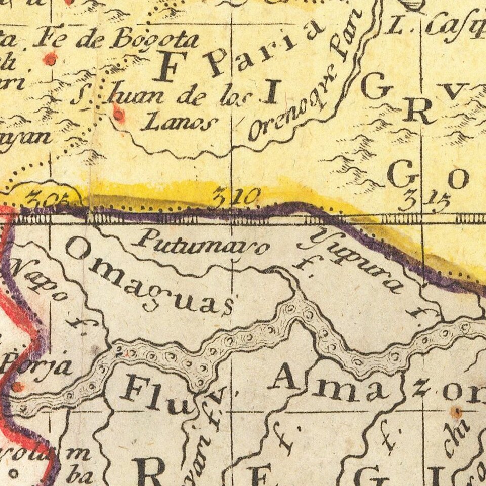
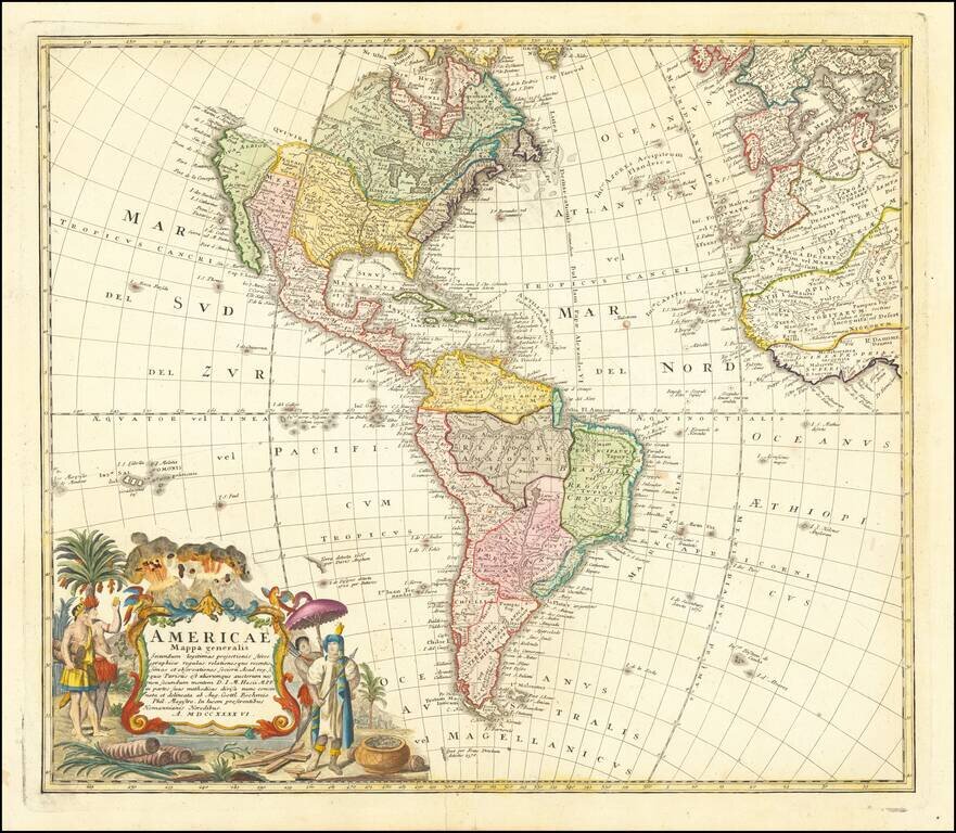
Nice example of the Homanns' second map of America, which reflects the substantial new information obtained since the issuance of the first map of America by the patriarch of the Homann Family, Johann Baptiste Homann. The decorative cartouche includes some very lively visual imagery, including volcanos and a nice alegorical scene representing the people, flora and fauna of America.
The interior of North America benefits from the knowledge obtained by the Jesuits in the Interior parts of North America, especially along the Mississippi River and English and Dutch information along the coast. The French are still the dominant force in the North, the Spanish in the South, immediately prior to the French and Indian War. The Great Lakes are only just now being accurately charted by D'Anville and later Mitchell. The west coast conforms to the French updates provided by De L'Isle and progeny. South America is substantially corrected from earlier models.
The NW Coast of America and NW Passage are still unknown, but wishfully shown. Quivira is shown considerably east of its normal location. Quivira was the the legendary land of gold and silver. Francisco de Coronado began his search for Quivira in 1541, but found only Indian Villages. He did however report to the Spanish King that the land was suitable for growing all of the products of Spain. Quivira migrated progressively further North and East, until it disappeared in the late 18th Century. The map seems to be influenced primarily by the highly influential map of America by De L'Isle first issued in 1700, although the Haas retains some of the great mythical cartographic features in the interior regions.
The map was likely bound into Homann's Atlas Scholasticus, one of the most popular and widely distributed atlases of the second half of the 18th Century, which continued to be issued with periodic changes to the maps for over 50 years.
If you are a student, write to us in telegram: @antiquemaps and indicate what material you need and for what work you need a map in high detail. We are ready to provide material on special terms. For students only!