Map size in jpg-format: 1.23481MiB
Click to open in high resolution (open in new tab).
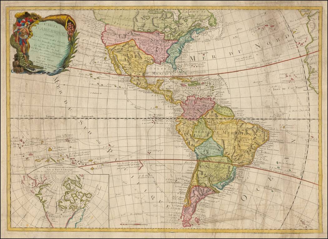
A fascinating early 19th Century reissue by the French firm of Chez Jean of the 1787 Clouet, revised to include the first voyage of Captain Cook.
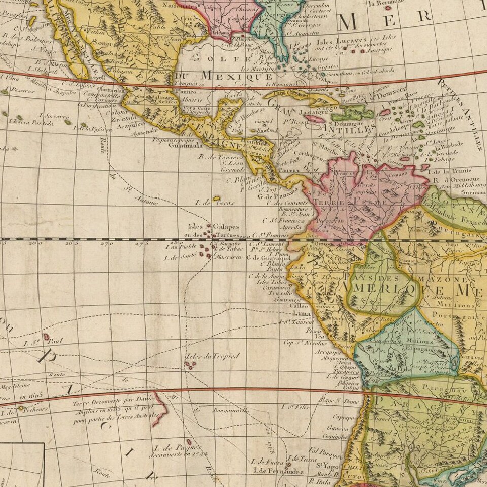
Gone is the Bay of the West, although the Northwest Coast still hints at some sort of inland sea. The newly formed US is noted and shown to include Florida, with a huge Louisiana Territory.
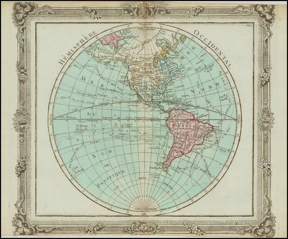
The routes of Cook and many other discoverers are shown in the Atlantic and Pacific. A slightly more up-to-date inset map focuses on northern North America and the explorations of Cook, Clark and the Russians. In this map, a strait exists between Siberia and North America, Greenland is part of the mainland, and the existence of the United States is recognized.
The highly decorative title cartouche is also a throwback, featuring America riding a particularly fierce alligator and gazing upon a cornucopia.
If you are a student, write to us in telegram: @antiquemaps and indicate what material you need and for what work you need a map in high detail. We are ready to provide material on special terms. For students only!
![[Signed Political Satire Artwork] Vietnam ... Vietnam ... Vietnam ...](/map/small/68726.jpg)