
Map size in jpg-format: 47.5587MiB
Click to open in high resolution (open in new tab).

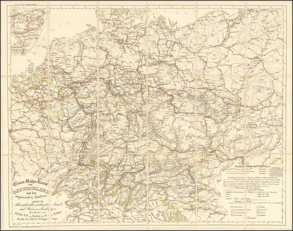
Rare railroad map of Western Europe, centered on Germany, noting the major railroads, roads and other means of commercial transit radiating out from Germany at the center of the map.
The map illustrates railroad lines completed (red), under construction (yellow) and projected (blue).
If you are a student, write to us in telegram: @antiquemaps and indicate what material you need and for what work you need a map in high detail. We are ready to provide material on special terms. For students only!
![[Eastern Hemisphere Globe Gores] (Nova et integra universi Orbis descriptio)](/map/small/54480.jpg)
![[Signed Political Satire Artwork] Vietnam ... Vietnam ... Vietnam ...](/map/small/68726.jpg)