Map size in jpg-format: 5.20274MiB
Click to open in high resolution (open in new tab).
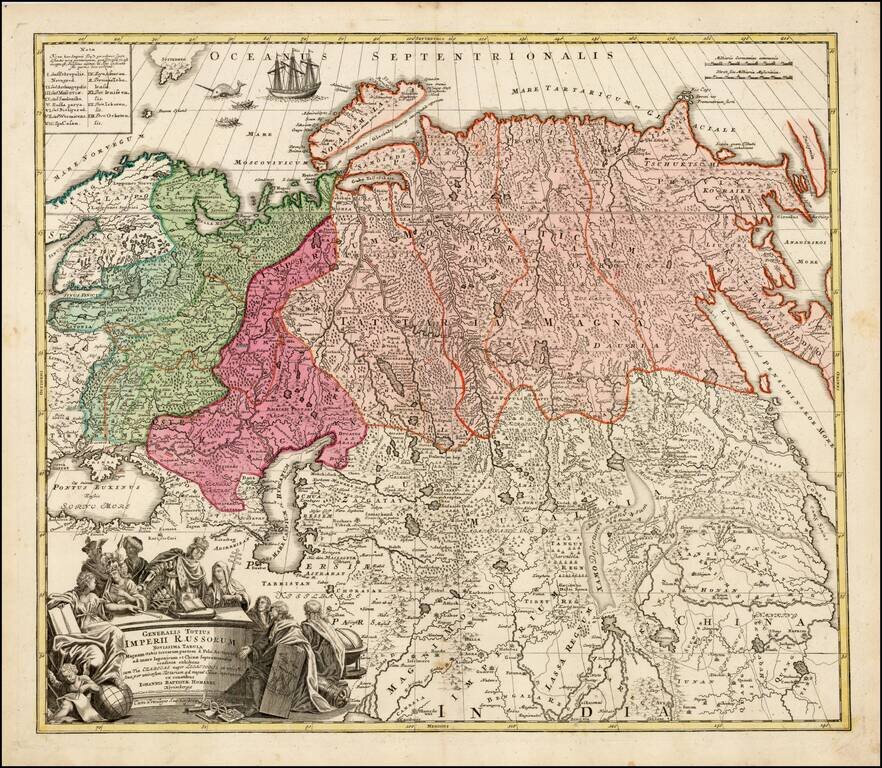
Striking large format map of Imperial Russia, at the beginning of the period when Russia was aggressively exploring the Pacific Ocean and Arctic Seas.
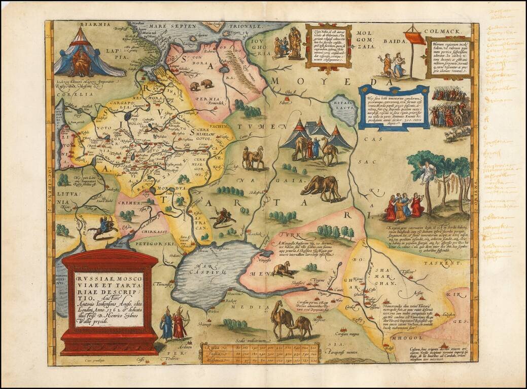
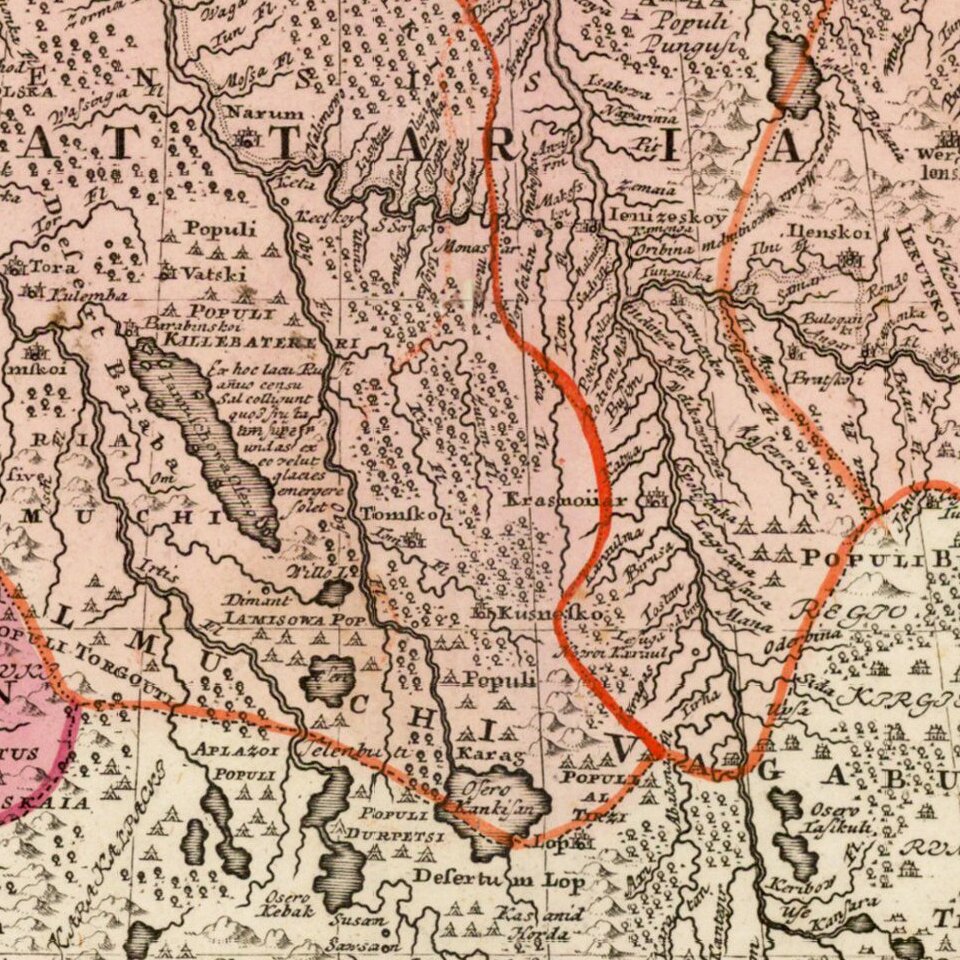
Highly detailed map of the Russian Empire and northern China covering the region from Finland and the Black Sea through Kamchatka in great detail. It is fully engraved to represent the topography of the region and colored to show the various Tartar tribes. A great whaling scene is engraved in the Arctic Ocean and the large title cartouche is surrounded by figures representing royalty and learning.
Johann Baptist Homann (1663-1724) was a mapmaker who founded the famous Homann Heirs publishing company. He lived his entire life in Bavaria, particularly in Nuremberg. Initially, Johann trained to become a priest before converting to Protestantism and working as a notary.
In 1702, Johann founded a publishing house that specialized in engravings. The firm flourished, becoming the leading map publisher in Germany and an important entity in the European map market. In 1715, Johann was named Imperial Geographer to the Holy Roman Empire by Charles VI and made a member of the Prussian Academy of Sciences. Most importantly for his business, his reputation and contacts gained him imperial printing privileges which protected his publications and recommended him to customers. Johann is best known for this Grosser Atlas ueber die ganze Welt, or the Grand Atlas of the World, published in 1716.
After Johann died in 1724, the business passed to his son, Christoph (1703-1730). Upon Christoph’s early death, the company passed to subsequent heirs, with the name of the company changing to Homann Erben, or Homann Heirs. The firm continued in business until 1848.
If you are a student, write to us in telegram: @antiquemaps and indicate what material you need and for what work you need a map in high detail. We are ready to provide material on special terms. For students only!
![[Signed Political Satire Artwork] Vietnam ... Vietnam ... Vietnam ...](/map/small/68726.jpg)