logo

1748. L'Amerique Septentrionale et Meridionale Divisee selon les differentes Possessions Le tout assujettie aux Observations Astronomique Avec des Nottes Historiques et Geographique sur les Naturels de ce Nouveau Continent Extrait de la Martiniere et autres Aut

  • L'Amerique Septentrionale et Meridionale Divisee selon les differentes Possessions Le tout assujettie aux Observations Astronomique Avec des Nottes Historiques et Geographique sur les Naturels de ce Nouveau Continent Extrait de la Martiniere et autres Aut

L'Amerique Septentrionale et Meridionale Divisee selon les differentes Possessions Le tout assujettie aux Observations Astronomique Avec des Nottes Historiques et Geographique sur les Naturels de ce Nouveau Continent Extrait de la Martiniere et autres Aut information:

Year of creation: 
Resolution size (pixels): 
 10042x7225 px
Disk Size: 
 19.0868MiB
Number of pages: 
 1
Place: 
 Lyon
Author: 

Print information. Print size (Width x height in inches):
Printing at 72 dpi 
  139.47 х 100.35
Printing at 150 dpi 
 66.95 х 48.17
Printing at 300 dpi 
 33.47 х 24.08

An example of detailing the file of this map of in a printable high-resolution:

Click to open in high resolution (open in new tab).
Attention! this is just the central piece (central area 960x960 px) of the map file!
This is an example, so that you can see and study the level of detail of a given map. The entire Map will be fully available after payment!

L'Amerique Septentrionale et Meridionale Divisee selon les differentes Possessions Le tout assujettie aux Observations Astronomique Avec des Nottes Historiques et Geographique sur les Naturels de ce Nouveau Continent Extrait de la Martiniere et autres Aut

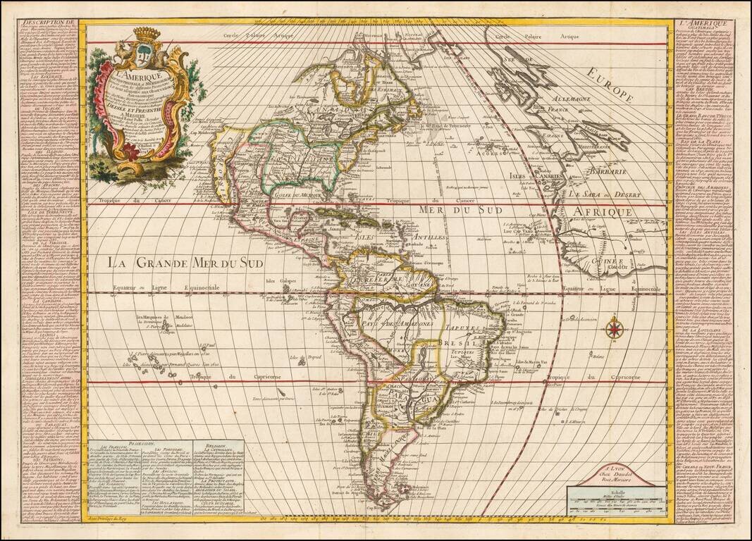
Rare map of America, published in Lyon by Daudet.

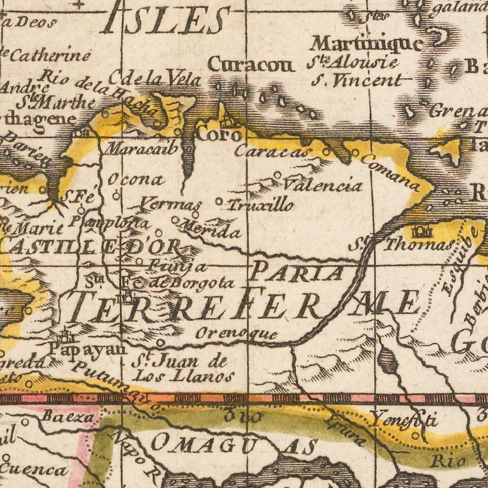
Finely engraved map of the Americas, with bold topographical details and many place names and Indian tribal designations.

In North America, an oversize Louisiana dominates the continent, minimizing the English possessions. The northwestern part of the continent, north of California, is unknown and blank, with the mythical entry to Puget Sound discovered by Martin d'Aguilar noted, along with a reference to P. S. Francisco, a curious early note, given that San Francisco would not be discovered until 1769, 21 years after the date given on the map. In fact, this is a reference to Sir Francisco Drake, whose landfall just north of San Francisco Bay occurred in the 16th Century .

In South America, the River Paraguay rivals the Amazon in size and importance. On either side of the map are text descriptions of the various provinces and territories of the Americas.

An inset at the bottom of the map lists the possessions of the main European colonial powers and the religions practiced in the New World (including Sun worship and Devil worship!).

The map was issued in different editions, dated 1748, 1761 and 1778.


Special conditions for students!

If you are a student, write to us in telegram: @antiquemaps and indicate what material you need and for what work you need a map in high detail. We are ready to provide material on special terms. For students only!

Item information:

Year of creation:
Size:
10042x7225 px
Disk:
19.0868MiB
Number of pages:
1
Place:
Lyon
Author:
Louis Pierre Daudet.
$14.99

Related item