Map size in jpg-format: 59.7159MiB
Click to open in high resolution (open in new tab).
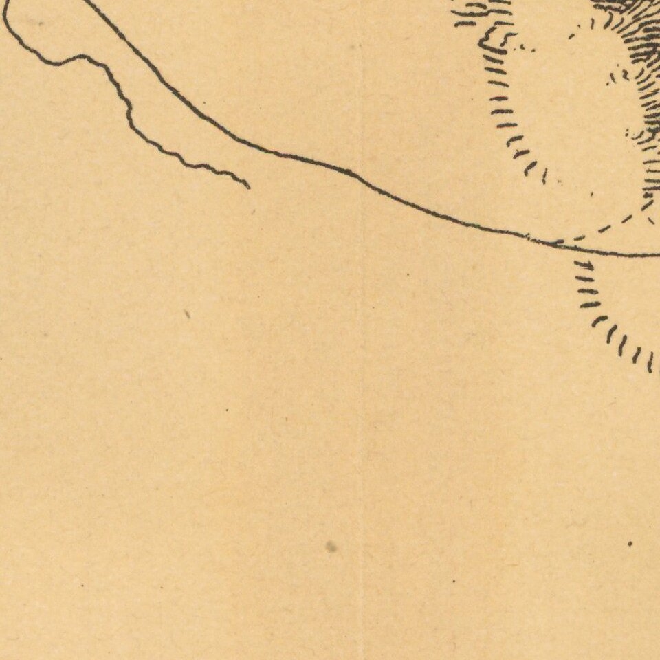
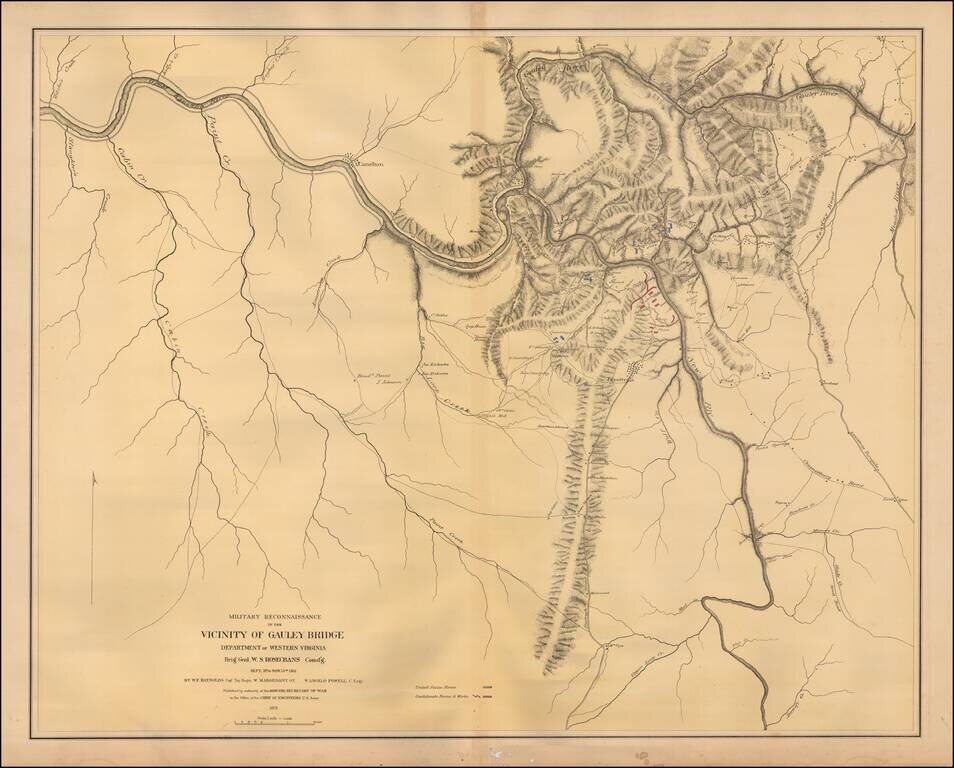
Color-lithographed map of the area near Gauley Bridge, (present-day) West Virginia.
Gauley Bridge was the site of a minor battle during the Civil War, which resulted in a Union victory.
"United States forces" are colored blue, and "Confederate forces & works" are red. The map shows the Union headquarters, towns, roads, houses, names of residents, drainage, and relief by hachures.
If you are a student, write to us in telegram: @antiquemaps and indicate what material you need and for what work you need a map in high detail. We are ready to provide material on special terms. For students only!