Map size in jpg-format: 16.8422MiB
Click to open in high resolution (open in new tab).
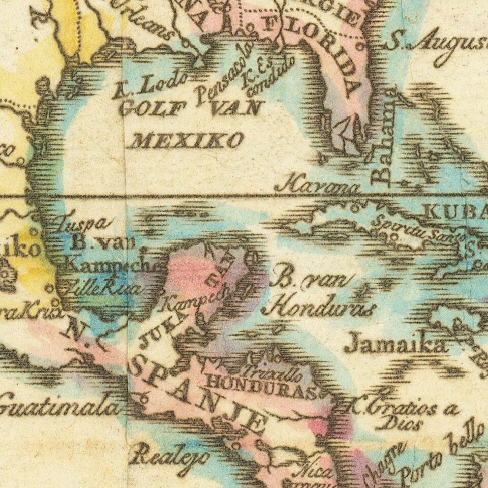
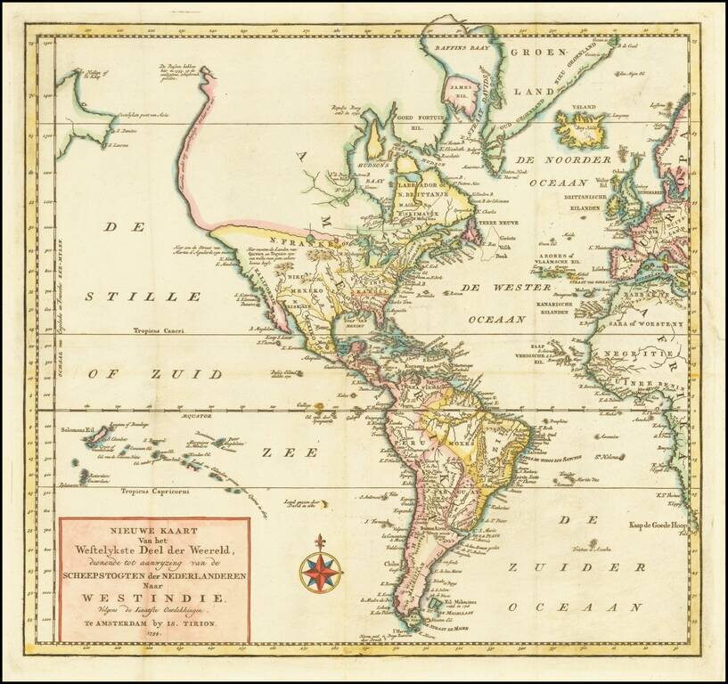
Fascinating map of America, featuring an unusual northwest coast of America, which includes Martin d'Aguilar's strait which provides for a Northwest Passage via the Great Lakes, via what would likely be the so-called River of the West.
The rest of the Northwest Coast of America is oriented virtually due North, with notations regarding Russian explorations in 1743. California is a Peninsula, with annotations regarding Quivira or Teguaio. Evidence of the claims of the various British and French colonies throughout, especially along the Eastern Seaboard.
Isaak Tirion was a prominent Dutch publisher based in Amsterdam in the eighteenth century. He is best known for historical works that included prints showing scenes from around the world. He also produced maps, such as those in the Nieuwe Hand-Atlas of 1744.
If you are a student, write to us in telegram: @antiquemaps and indicate what material you need and for what work you need a map in high detail. We are ready to provide material on special terms. For students only!