Map size in jpg-format: 34.5801MiB
Click to open in high resolution (open in new tab).
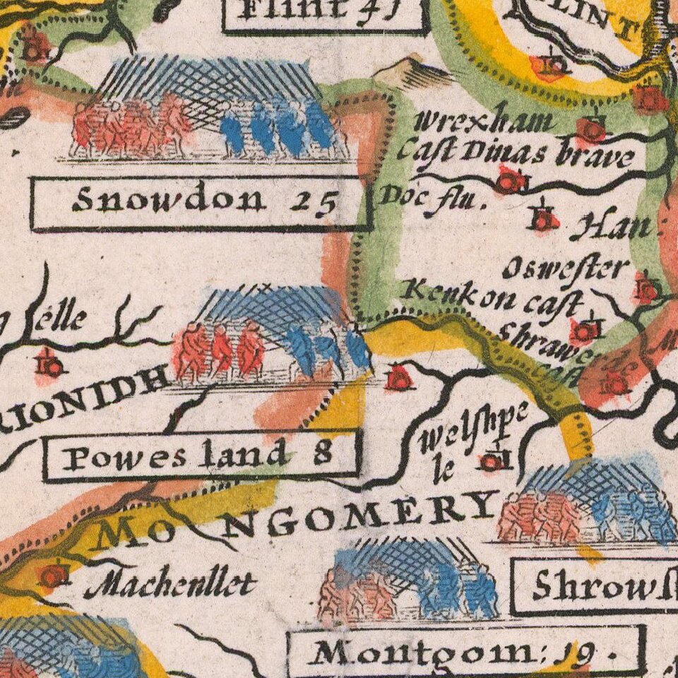
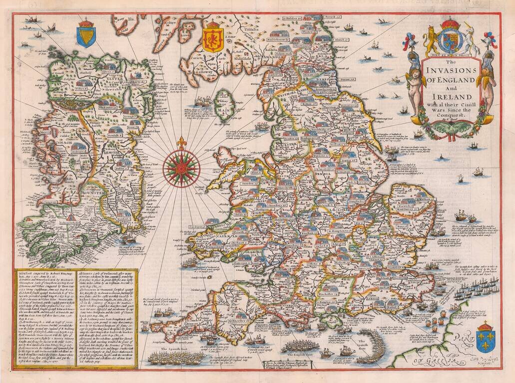
A striking example of Speed's map depicting the invasions of England and Ireland.
A highly decorative detailed map, superbly engraved by Cornelius Danckerts, who copied a prototype map by Speed issued as a separate publication between 1601-03. The map shows the various invasions and internal battles from the Norman invasion in 1066 to 1588. The land battles are marked by opposing phalanxes of troops to the invasion places from Sea by attacking fleets.
The map is derived from the earliest known printed map by Speed of which only three sections have survived. Engraved by Cornelius Dankerts, it was first included in the last edition of Speed's Atlas to be published in his lifetime. The map was subsequently issued in all editions of the Atlas until 1676.
If you are a student, write to us in telegram: @antiquemaps and indicate what material you need and for what work you need a map in high detail. We are ready to provide material on special terms. For students only!