Map size in jpg-format: 13.1572MiB
Click to open in high resolution (open in new tab).
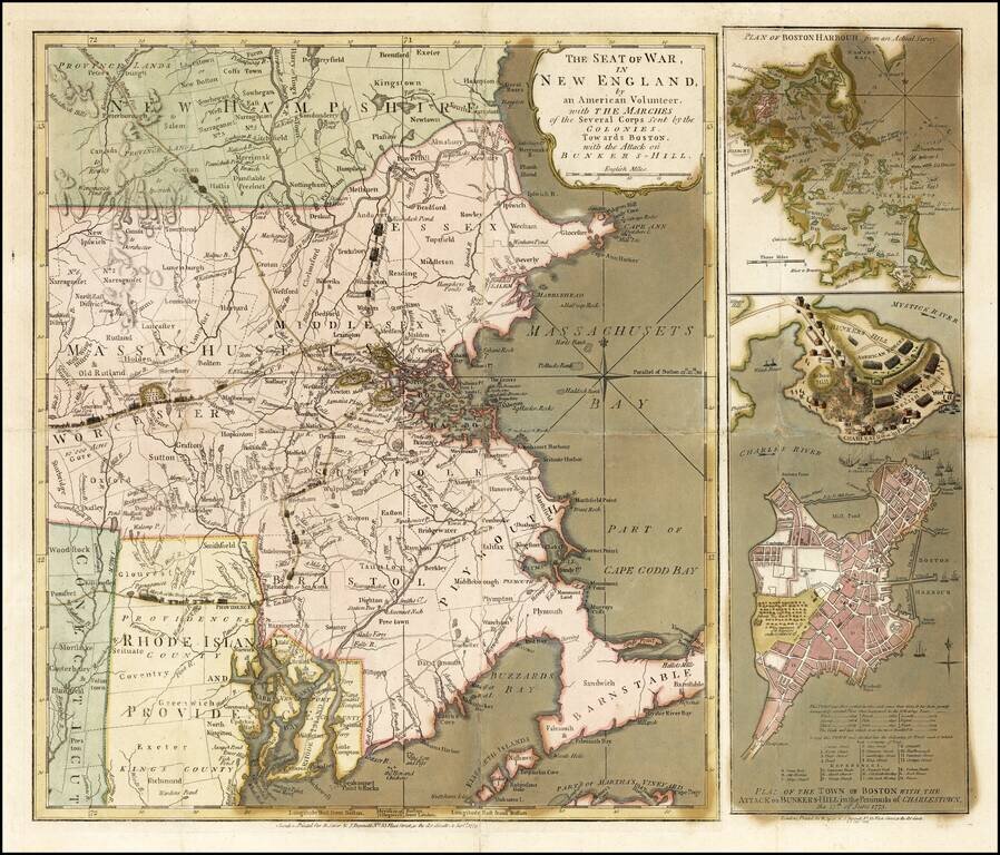
Important early broadside map and plan of the Battle of Bunker Hill and the area around Boston, published by Sayer & Bennett, in London in 1775.
Sayer & Bennett's map of the Seat of War is one of the two earliest pictorial accounts of the Battle of Bunker Hill, preceded only by Jeffeys & Faden's A Sketch of the Action between British Forces and the American Provincials on the Heights of the Peninsula of Charlestown, which provides only a small simplistic model of the troop movements and placements around the battle site. Prepared to inform the British public of the totality of the Theater of War and the British Victory, Sayer & Bennett's work is without question the best pictorial account of the conflict.
Believed to have been based upon a letter from a June 25, 1775 letter from General Burgoyne to Lord Stanley (which Sayer & Bennett later published separately as a broadside), the map provides a dramatic account of the Battle, including an inset showing Charlestown under attack by British forces, with the town in flames as British warships bombard it from the water, and a British battery shelling the town from across the Charles River.
The map is credited to "an American volunteer," and it is among the most accurate maps of the period from an American perspective. The movement of colonial troops to Boston, including Washington's army and the New Hampshire Rangers, is outlined on the principal map with minute figures of troops, horses, and cannon. The vivid inset battle-plan, based on John Norman's engraving, shows Charlestown in flames.
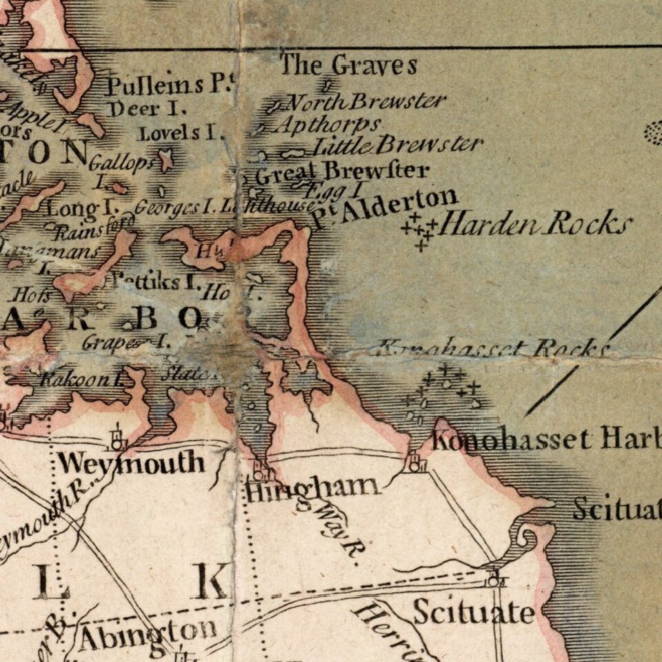
Sayer & Bennett's broadside map consists of three maps from two engraved plates printed on one sheet. The larger map is based on Thomas Jeffreys' " Inhabited part of New England. . . ." and includes an overview Southeastern New England showing the convergence of American troops from New Hampshire, Connecticut and Rhode Island towards Boston, along with Washington's route from New York bringing troops and artillery, which proved decisive in the battle. Two insets, one of the harbor and one of the city of Boston and the Charlestown peninsula with a depiction of the Battle of Bunker's Hill. The smaller inset in the upper right is a plan of Boston Harbor.
If you are a student, write to us in telegram: @antiquemaps and indicate what material you need and for what work you need a map in high detail. We are ready to provide material on special terms. For students only!
![[The First Maps in a la poupée Printed Color] Cartes en Couleur des Lieux Sujets aux tremblements de Terre Dans toutes les parties du Monde Selon le Sisteme de l’impulsion Solaire](/map/small/52293op.jpg)