Map size in jpg-format: 44.8865MiB
Click to open in high resolution (open in new tab).
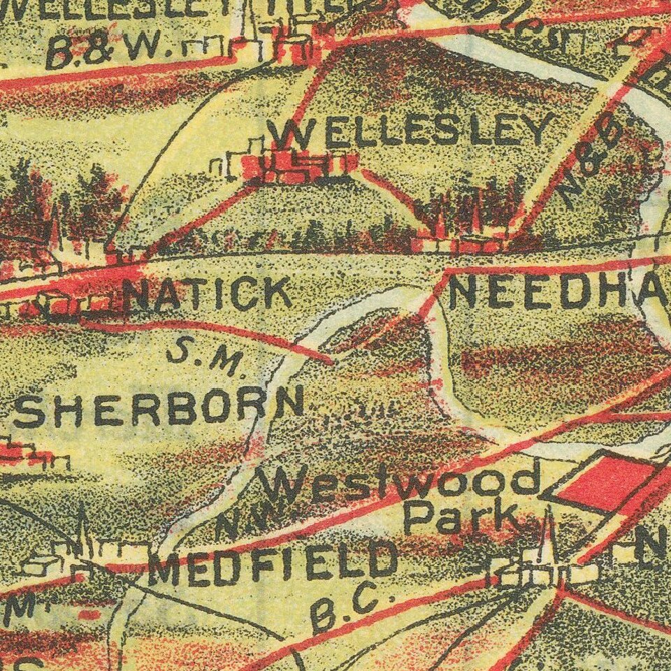
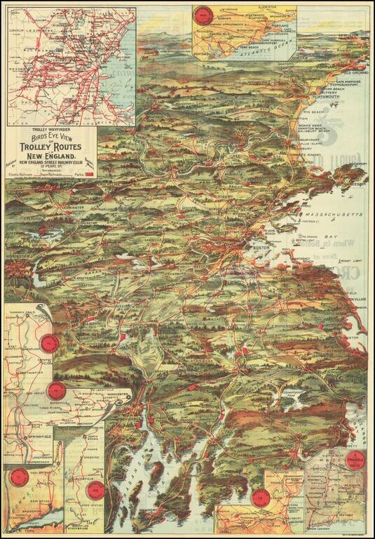
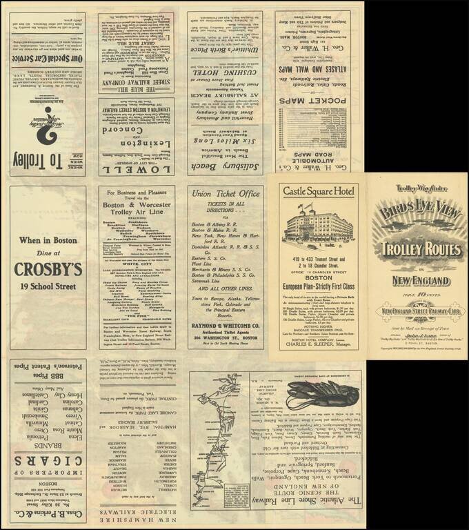
Attractive color-lithographed bird's-eye view of the eastern part of New England, showing the trolley routes in the area roughly bounded by New Bedford, Providence, Worcester, Concord, and Portland.
The map is an impressive work of popular color printing and showcases the golden age of American streetcar travel before that industry was decimated by the personal automobile.
The map includes seven insets of other New England routes not shown on the main map.
This is the 1907 edition. The imprint line suggests that it was published starting in 1904, and yearly thereafter.
The map was printed by George H. Walker & Co., Boston.
If you are a student, write to us in telegram: @antiquemaps and indicate what material you need and for what work you need a map in high detail. We are ready to provide material on special terms. For students only!
![[The First Maps in a la poupée Printed Color] Cartes en Couleur des Lieux Sujets aux tremblements de Terre Dans toutes les parties du Monde Selon le Sisteme de l’impulsion Solaire](/map/small/52293op.jpg)